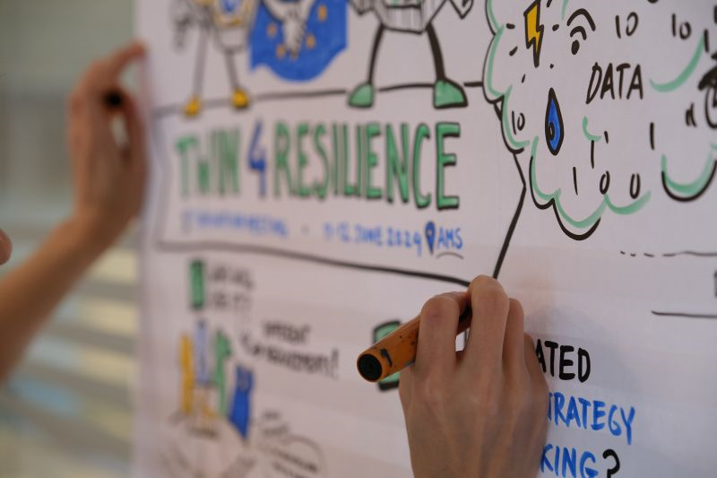
The idea behind Local Digital Twins (LDTs) – interactive 3D models of cities – is to visualize big data in a connected way. More and more data is being collected on all kinds of urban processes. Think of traffic flows, waste streams, or data about ambient temperature and air quality. This data is of great value for the design and management of a city.
Simulations
Amsterdam and Utrecht have already taken the lead: On 3d.amsterdam.nl and 3d.utrecht.nl – soon to be combined into netherlands3D.eu – platforms are growing where you can walk through the environment like in a video game. Not just with visuals of buildings and streets like in Google Maps, but with added layers of any desired information. These layers can be easily activated to display different types of data. Using simulations in this digital world, the impact of interventions and projects can be made visible before they are implemented in the real world. What happens, for example, when trees are planted or removed in specific locations? What is the effect of new buildings on their surroundings? What possibilities are there for urban densification – and what does that look like? The idea is that this can help address spatial planning challenges more easily, and that policymakers and citizens alike can better understand what urban space might look like in the context of major societal issues, such as climate, energy, housing, and green space in the city.
